-40%
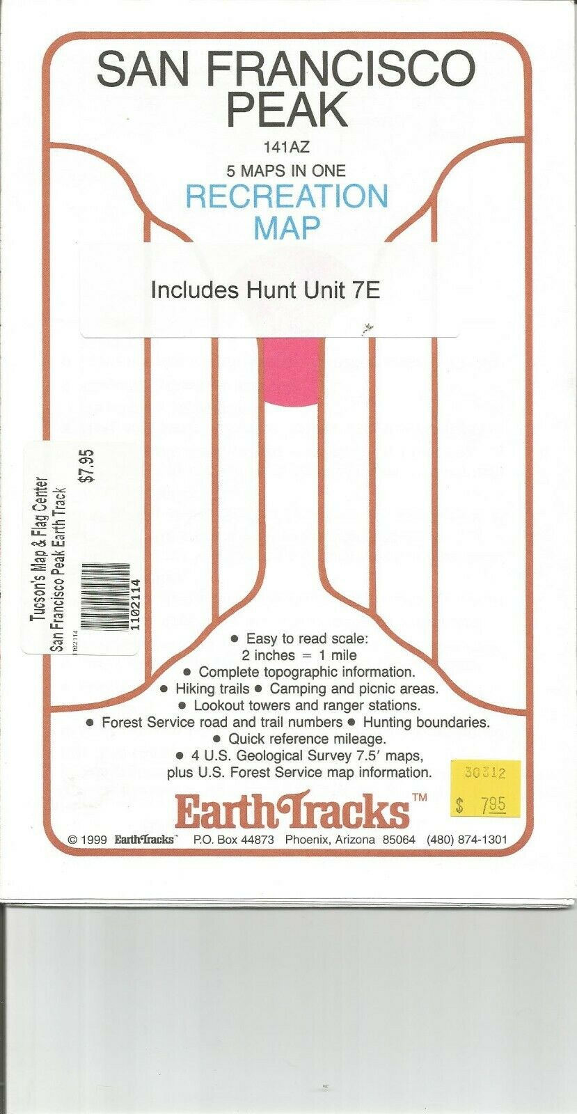
San Francisco Peak, AZ Recreational Topographic Map by Earth Tracks.
$ 4.19
- Description
- Size Guide
Description
This is new stock, but Earth Tracks published it in 1999. Earth Tracks produced a series of popular Recreation Maps based on the USGS Topographic Maps. They took the older 15' (1:62,500 scale) maps and expanded them to 1:31,680) or just about doubled the size. This gives a map that is easier to read and then they added hiking trails, ski trails, some roads, etc.The San Francisco Peak(s) are the mountain range just north of Flagstaff and home to Humphries Peak the tallest mountain in Arizona. The peaks are also the home of Arizona Snow Bowl, a winter Ski Resort.
Although an older map, it does show what the outdoors person wants to see on a map.


