-40%
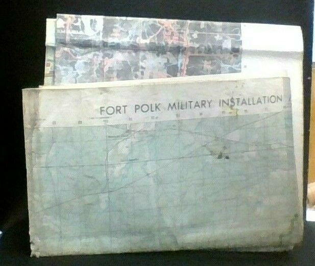
Fort Polk Military Installation Map Louisiana Orthophoto 1976/79
$ 13.17
- Description
- Size Guide
Description
Fort Polk Military Installation Map, Military Mapping Agency, Louisiana, 1979Louisiana Orthophoto Map
1:50,000
Double-Sided, Folds out to about 3' x 3'
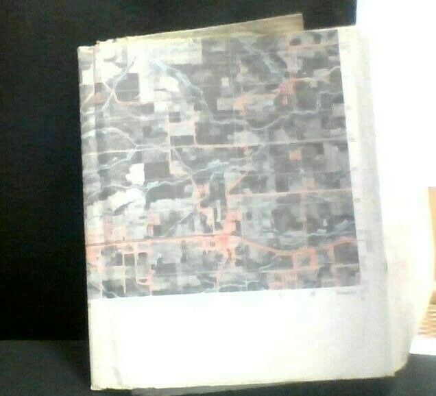
One side is a topographic map. One side is made of aerial photos.
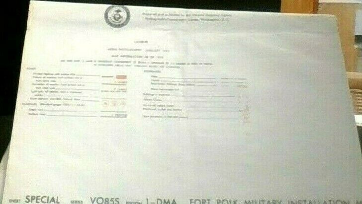
Map Information as of 1976
Aerial photos and military information as of 1979
Red Light Readable
